
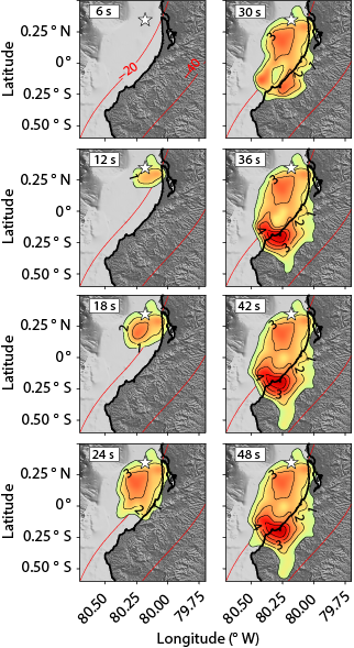
The REMAKE project, funded by the French National Research Agency, aims at developing a pilot prototype of earthquake forecast model in Ecuador and Northern Peru, a region frequently affected by devastating earthquakes, such as the Pedernales earthquake of 16 April 2016. The novelty of the model is that it will integrate all existing and forthcoming knowledge on faults, including their seismic potential quantitatively assessed from geodetic, seismological, and geological approaches. The primary deliverable will address the issues of anticipation of potential future extreme events, in terms of location, size, and frequency, which will be translated into the probability of exceeding the specified ground-motion level.
 The project includes a focus on seismic hazards and building vulnerability in Quito, and the development of a near real-time seismic response platform. Finally, local stakeholders and decision makers will be involved in the project that will provide all conditions required for adoption and transfer of scientific results to civil society, including the ultimate goal of developing scientist-stakeholder joint initiatives in order to enhance public policies and practices related to the seismic risk.
The model is expected to greatly improve seismic hazard assessment in Peru and Ecuador, as well as in areas showing similar geodynamics settings.
The REMAKE project builds upon a long-established collaboration with Ecuador-Peru partners, already extensive databases, and special access to multiple new data, already operating dense continuous sensor networks, as well as solid interdisciplinary expertise.
The project partners are:
• IRD Institut de Recherche pour le Développement - ISTerre Grenoble
• IRD Institut de Recherche pour le Développement - Géoazur Nice
• CEREMA Centre d'études et d'expertise sur les risques, l'environnement, la mobilité et l'aménagement - Laboratoire de Nice
• EDYTEM Environnements, DYnamiques et TErritoires de la Montagne
• Escuela Politecnica Superior del Litoral La Facultad de Ingeniería en Ciencias de la Tierra, Escuela Superior Politécnica del Litoral
• IG-EPN Instituto Geofísico de la Escuela Politécnica
• IGP Instituto Geofísico del Perú
• INOCAR Instituto Oceanográfico de la Armada
PRINCIPAL INVESTIGATOR: P. Charvis, IRD
ANR-15-CE04-0004 FUNDING
BEGINNING on January 2016
DURATION 60 months