- Details
The Geoazur Laboratory
Is a multidisciplinary joint research unit comprising geophysicists, geologists, and astronomers working on crucial scientific issues such as: telluric hazards – seismic, gravitational and tsunamigenic events – and related risks; lithosphere dynamics and Earth imaging; geodesy and metrology of the Earth and the nearby universe…
- Details
 |
 |
 |
 |
 |
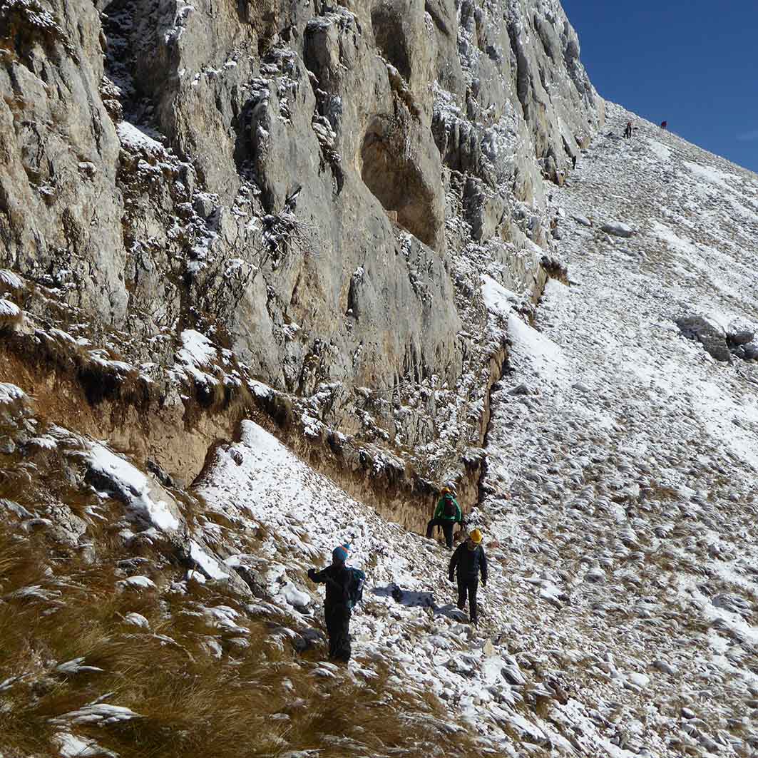
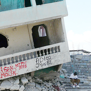
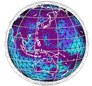
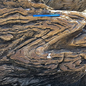
| Identifying, measuring, modeling and better understanding the factors and processes that contribute to the genesis of earthquakes and characterize their properties | Coping with the risks induced by large earthquakes, tsunamis and landslides impacting our societies and environment | Developing imaging and modeling techniques for the scanning of the Earth’s interior from the upper layers to greatest depths | Studying lithospheric and crustal deformations at different time scales and better understanding their relationships with deeper processes | Developing instrumentation for measuring and modeling planetary and Earth deformations and interactions, and to test theories of fundamental physics |
UMR Géoazur
Campus Azur du CNRS
250 rue Albert Einstein
- CS 10269 - F 06905 SOPHIA ANTIPOLIS Cedex
+33 (0)483 618 500


